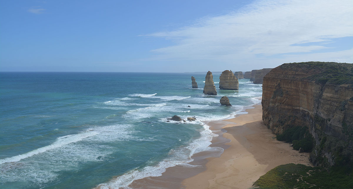
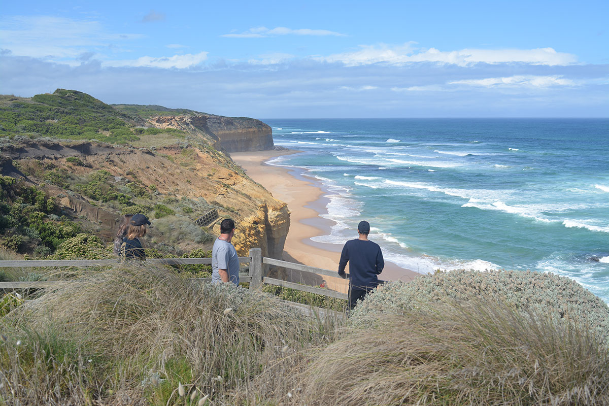
A Plan for the Shipwreck Coast, from Princetown to the Bay of Islands.

Overview
The Shipwreck Coast Master Plan is a comprehensive and visionary program to protect the fragile coastline between Princetown and the Bay of Islands, improve opportunities for visitors and strengthen the local economy and employment opportunities through sustainable tourism. The Master Plan vision covers how public land is managed by state and local governments and also aims to provide confidence for business investment along the Shipwreck Coast and Hinterland.
The Shipwreck Coast encompasses 28 kilometres of spectacular coastline in Victoria's south-west, incorporating Port Campbell National Park, the Bay of Islands Coastal Park, the Twelve Apostles Marine Park, the Arches Marine Sanctuary and the townships of Princetown, Port Campbell and Peterborough. The Great Ocean Road runs right along the Shipwreck Coast, close to the cliff-tops and the waterfront, linking the townships.
With visitor numbers to the Shipwreck Coast continuing to grow rapidly, improved infrastructure will provide a better, safer and more connected experience taking in the many attractions on the Shipwreck Coast and its hinterland, including the Twelve Apostles, the Blowhole and the Bay of Islands and local townships like Port Campbell, Timboon and Cobden.
Improved infrastructure will benefit both the environment, visitors and the local community by ensuring sustainable tourism, supporting job creation and the development of new services and amenities. Over time, realisation of the Shipwreck Coast Master Plan is projected to deliver an increase of $254 million in annual spending and the creation of more than 3,500 jobs for Victorians.
Improved visitor infrastructure such as elevated walkways and viewing platforms will protect the integrity and environmental values of the coastline well into the future, while improved information will enable visitors to better appreciate the compelling story of the Aboriginal cultural landscape, the natural environment and European settlement.
The Shipwreck Coast Master Plan is a key part of the Victorian Government's Visitor Economy Strategy, released in July 2016, which aims to attract investment that drives increased visitation and yield in regional Victoria, including the state's world class nature-based tourism destinations.
It aims to protect, enhance and celebrate the Twelve Apostles, one of Australia's most recognisable and visited natural attractions. The Master Plan is multi-faceted, comprising 72 projects and initiatives, which will guide investment in facilities and infrastructure over the longer term.
View the Plan
- Part 1 - Shipwreck Coast Master Plan (PDF 16488.35 KB)

- Part 2 - Shipwreck Coast Master Plan (PDF 19571.12 KB)

- Part 3 - Shipwreck Coast Master Plan (PDF 6536.8 KB)

Projects
Parks Victoria is working with the Eastern Maar Aboriginal Corporation on initial projects worth $23.4 million in the Port Campbell National Park. These projects are:
- a new million lookout at the ‘Saddle’ in the Twelve Apostles Precinct that will expand viewing areas and improve accessibility for growing visitor numbers
- another lookout at ‘The Blowhole’ at Loch Ard Gorge
- a new 60m pedestrian bridge which has been built over Port Campbell Creek, connecting Port Campbell to the national park.
The benefits of the $23.4 million investment are estimated to be:
- Approximately 120 ongoing jobs (plus 85 during construction)
- $12 million added each year to the regional economy
- $14 million annual increase in visitor spend
- 263,000 increase in visitor numbers.
Find out more at Parks Victoria:
The next stage of development under the Shipwreck Coast Master Plan is the $126 million Twelve Apostles Precinct Redevelopment, supported through the Geelong City Deal.
Find out more at the Twelve Apostles Precinct Redevelopment webpage.

History of development
The Shipwreck Coast Master Plan was developed over three years involving extensive consultation with key stakeholders and the local community.
Parks Victoria, Tourism Victoria, Shire of Corangamite and Shire of Moyne collaborated with landscape architects McGregor Coxall to develop the Shipwreck Coast Master Plan for the 28 km stretch of land between Princetown and Boat Bay. Consultation occurred over five stages between June 2013 and December 2015 and the final version of the Shipwreck Coast Master Plan was launched by the Minister for Environment on 3 December 2015.
| Stage | Date | Milestone achieved |
|---|---|---|
| 1 | June 2013 | Issues and Opportunities |
| 2 | August 2013 | Project Vision and Place Principles |
| 3 | October 2013 | Draft Concepts |
| 4 | April 2014 | Preliminary Master Plan |
| 5 | October 2014 | Draft Master Plan |
| 6 | December 2015 | Final Shipwreck Coast Master Plan Released |
In May 2018, Parks Victoria, in partnership with Traditional Owners, invited community and stakeholder feedback to support project design and delivery. This feedback is detailed in the Shipwreck Coast Engagement Summary Report (PDF). The design team and Parks Victoria reviewed and considered all feedback and provided responses to key themes for each of the three projects.
Contact details
Federal Mills Precinct, 33 Mackey Street
North Geelong VIC 3220
Phone: 1800 950 145
Email: information.geelong@rdv.vic.gov.au

